This article was scraped from Rochester Subway. This is a blog about Rochester history and urbanism has not been published since 2017. The current owners are now publishing link spam which made me want to preserve this history.. The original article was published December 11, 2014 and can be found here.

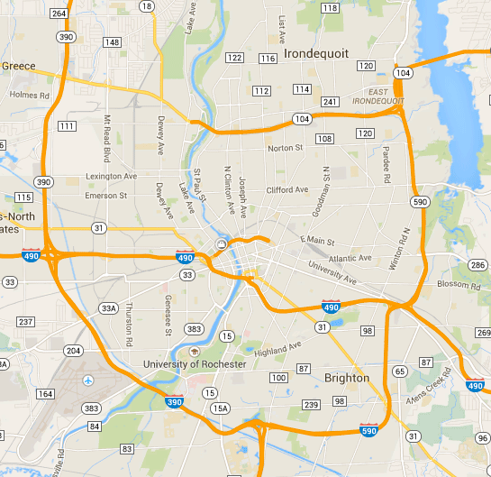
Google Maps updated their view of Rochester

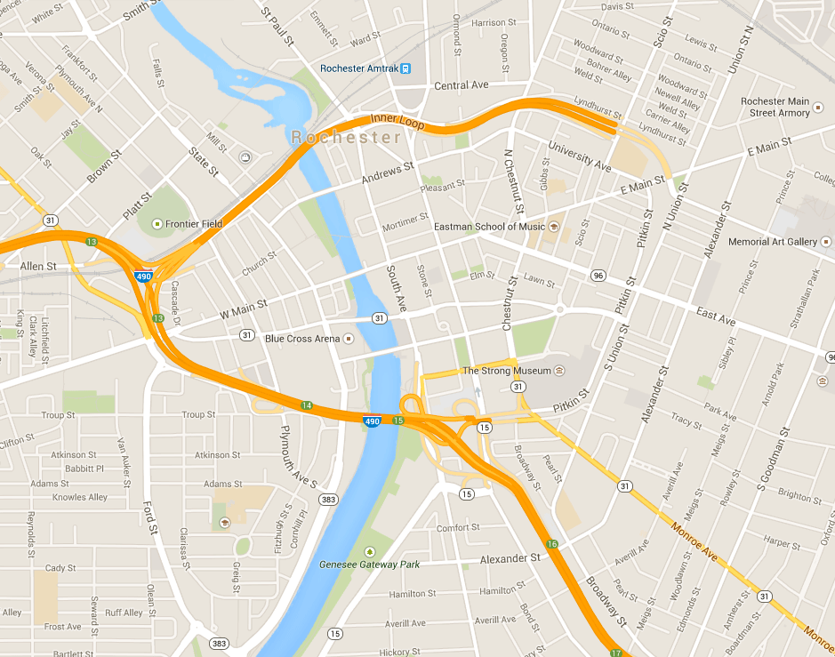
this week. Notice anything different? Let's zoom in on that visual a bit...

That's right. The east side of the Inner Loop has been replaced with Union Street!
For 50 years that visual of the Inner Loop encircling downtown Rochester has been etched into our minds. Now, like someone flipped a switch, the noose has been broken.
Someone asked me last week what we should call it now that it's no longer a loop. It's sort of become an awkward protrusion of I-490. Like a little lost strand of spaghetti, unsure of what to do with itself.
How about the Inner Horseshoe? I know, it doesn't have quite the same RING to it. Heh heh.


