This article was scraped from Rochester Subway. This is a blog about Rochester history and urbanism has not been published since 2017. The current owners are now publishing link spam which made me want to preserve this history.. The original article was published February 25, 2010 and can be found here.
In Oregon, a battle raged for nearly twenty years over the construction of a highway project, proposed by the once acclaimed city planner Robert Moses. If approved, the Freeway would have removed more than 1% of all housing stock in Portland. In the mid 1970s, after the proposal's defeat, the city opted to build a mass transit infrastructure instead. The result can be seen today in the form of a more pedestrian-friendly and livable city.

On the opposite side of the country, Clarence Eckerson Jr. lives next door to the Brooklyn-Queens Expressway. His neighborhood was literally and figuratively trampled by the "vision" of Robert Moses. Watch the video above (from Streetfilms.com) and travel to Portland with Clarence to see how his own Brooklyn neighborhood might look today, had it not been for the Robert Moses master plan .
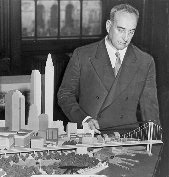
Rochester can also draw parallels to this story. Interstate 390 as it is today forms the "Outer Loop" together with I-590, encircling the city and it's immediate suburbs. But did you know that I-390 was supposed to continue north--running parallel to Clinton Avenue--all the way up to I-490 at Goodman Street? It's true. Rochester's beloved Swillburg and South Wedge neighborhoods were nearly shattered by the same mindless "planning" that destroyed countless NYC neighborhoods at the hands of Robert Moses.
Original plans have interchanges at Elmwood and Clinton Avenues. Along 490 between Goodman Ave and Clinton Ave downtown, there is a wide patch of land parallel to the current 490 which would have been feeder lanes for 390. Fortunately, the project was cancelled in the 1970s thanks to public opposition and I-390 was instead rerouted to meet I-490 west of the city.

That's not to say that Rochester emerged unscathed from the nation's highway building frenzy. The "inner loop" is arguably the best example. It's construction leveled entire city blocks and has only served to choke off the downtown core from its surrounding neighborhoods. But I'll leave you with a bit of good news--this blunder of city planning is about to be reversed. See the Inner Loop Reconstruction Project (PDF) . I can hardly wait!
See also Rochester's Case for a Streetcar Line .