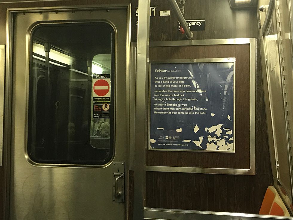
This article was scraped from Rochester Subway. This is a blog about Rochester history and urbanism has not been published since 2017. The current owners are now publishing link spam which made me want to preserve this history.. The original article was published November 29, 2009 and can be found here.

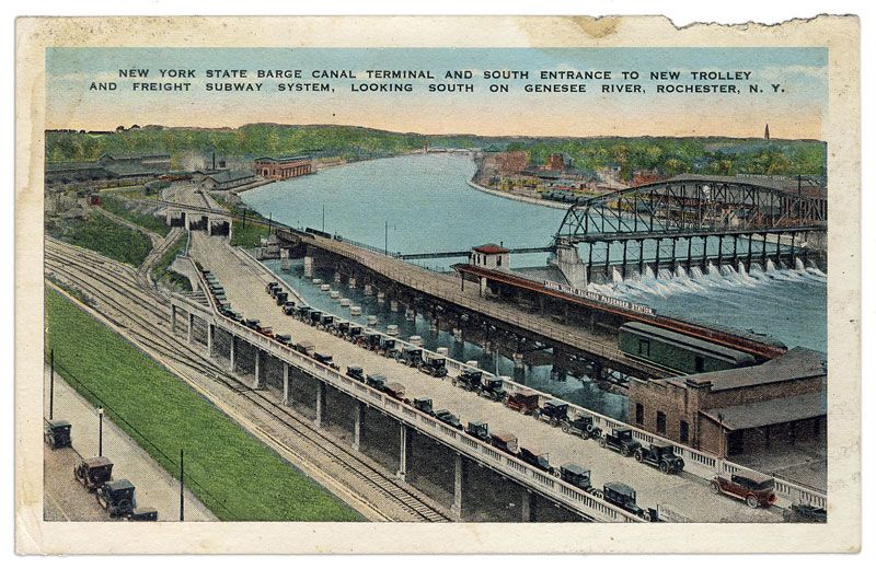
Recently we acquired this postcard (shown above) of the Rochester subway entrance at Court Street. And while I was reading up on the history of Rochester and the Erie Canal, I came across some pretty neat photos of downtown, the old canal, and later the construction of the Rochester Subway. These images say a thousand words so I'll just start the slide show with this incredible panorama of Rochester from 1906...

This panorama was shot from the roof of the Rochester Business Institute--where the Bausch & Lomb parking garage is today. Some points of interest: The Erie Canal aqueduct carrying water over the Genesee River on the right. To the far right, the Main Street bridge with buildings on it. In the center the statue of Mercury stands atop a smoke stack at the old Cluet-Peabody & Company shirt factory where the Blue Cross Arena now stands. Immediately to the right of Mercury is the old Rochester City Hall tower. The bridge with the pedestrians in the center is Court Street. Notice the trolley tracks on Court Street and also on South Avenue (far left). Between Court St. and South Ave. is the Lehigh Valley Train Station (today this is the Dinosaur Bar B Que). You can see the peeked roof of the station peeking above the bottom edge of the photo. On the far side of the river is the Erie Railroad Station which is curiously missing from Rochester's landscape today. I believe there's a parking lot there now. This photo is absolutely fascinating to me. As much as Rochester has changed, there are lots of familar landmarks to be seen. Here are some related photos...

Above is an illustration of the Erie Canal Aqueduct in the 1820's. This was the first Erie Canal Aqueduct over the Genesee River. In 1840 a wider one was built in its place. This view faces east--so the bridge going over the aqueduct would be Exchange Street.

Here's the Erie Canal Aqueduct between 1888 and 1894 [photograph; 10 x 12 cm. (4 x 5 in.)] A view of the Erie Canal Aqueduct, the Genesee River, and downtown Rochester looking west. We also have a postcard similar to this view.

A view of the Exchange Street Bridge over the Erie Canal (c.1894) [photograph; 9 x 12 cm. (4 x 5 in.)]. The bridge with the trolley is actually a swing bridge in the closed position. This view is facing west. The building in the background (center) is old City Hall. Today this view would be of Broad Street and the building on the right would be the Democrat & Chronicle or Times Square Building.

Finally, the construction of the Rochester Subway in the former Erie Canal Aqueduct. (1922-1924) [photograph; 19 x 20 cm. (8 x 10 in.)]. The view is facing northwest. To see what this construction project looked like when it was finished just visit downtown Rochester today--or check out this postcard of the new Broad Street and Rochester Subway.
These photos and others can be found in at the Rochester Public Library.